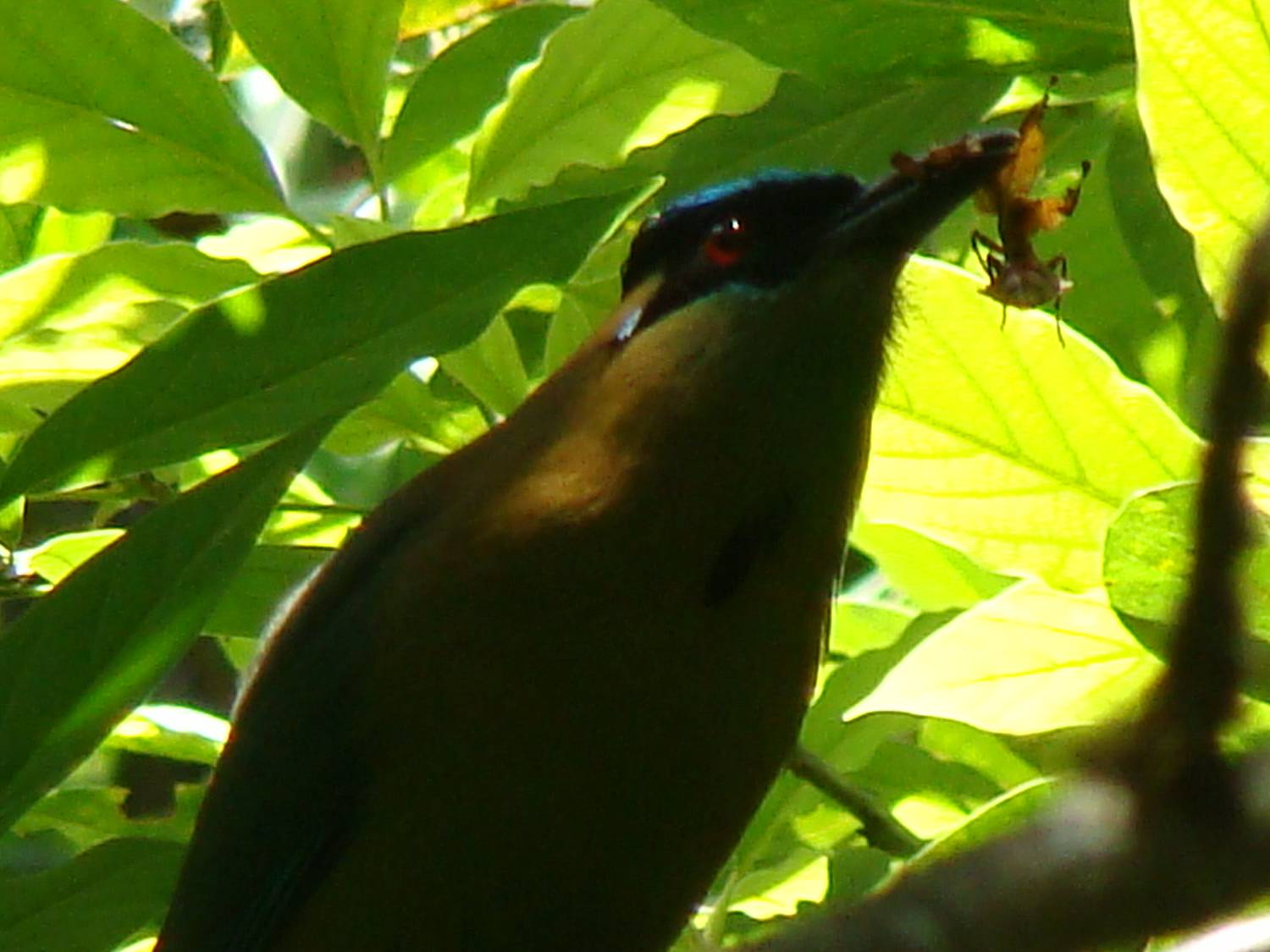
The Gualaceo-Limon Route (90 Km) begins at 3.500 m and ends in the other side of the eastern Andean range at 1.220 m providing different ecosystems: paramo, bush covered paramo, mountain forest and pre-mountain humid forest. Here we would find Masked Mountain Tanager, Chestnut-bellied Cotinga, Emerald Toucanet, etc.
Overview:
- Moderate activities of 8 hours per day
- Highland terrain elevations ranges from 1200 m to 1600 m
- Warm and humid weather
- Early departures
- Very few mosquitoes: light insect repellent and long sleeves are recommended. Book now
Some of the most important birds of the area are:
| Scientific Name | English name | Common Name |
| Urosticte benjamíni | Purple-bibbed Whitetip | Colibrí puntiblanca pechipúrpura |
| Trogon comptus | Choco Trogon | Trogón del Choco |
| Rhampastos brevis | Choco Toucan | Tucán del Choco |
| Cephalopterus penduliger | Long-wattled Umbrellabird | Pájaro paraguas |


